
Airborne Systems
Leica Airborne Systems
Explore Leica Geosystems’ advanced airborne systems, including imaging sensors, topographic LiDAR, bathymetric LiDAR, and hybrid sensors, designed for efficient mapping and data collection.
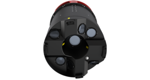
Leica DMC-4
High-efficiency airborne imaging sensor delivering superior image fidelity for versatile applications and complex mapping environments.
- 31,000+ pixels across swath for detailed imagery
- 20% improvement in collection performance compared to previous systems
- Ideal for large-scale photogrammetric mapping projects
- Seamless integration with Leica processing workflows
Leica CountryMapper
Hybrid airborne sensor combining a large-format photogrammetric camera with a high-performance LiDAR unit into a single system.
- 60° LiDAR field of view for comprehensive coverage
- Simultaneous data collection for efficient workflows
- Optimized for national mapping and infrastructure projects
- Enhanced productivity with integrated sensor design
Leica CoastalMapper
Next-generation airborne bathymetric LiDAR sensor providing increased survey performance for shallow and deep waters.
- 250% improvement in survey performance compared to previous systems
- Enhanced depth penetration for accurate underwater mapping
- Ideal for coastal and marine applications
- Integrated processing tools for efficient data handling
Leica SPL100
Single Photon LiDAR sensor capturing data over large areas with high efficiency and speed.
- Captures 6 million measurements per second
- 10 times more efficient than conventional LiDAR sensors
- Ideal for large-scale topographic mapping projects
- Seamless integration with Leica processing workflows